Simple, Fast Digitization of Real-World Objects
3D scanning makes it easier and faster to convert complex real-world objects into a systematic, digital form as CAD, BIM, and mesh models.
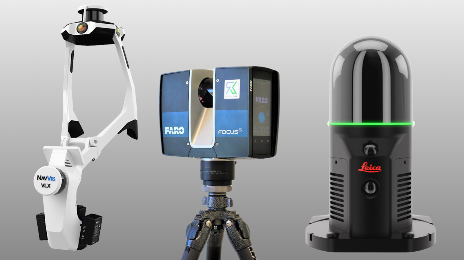
THREE SCANNERS. ONE GOAL.
NavVis VLX3
Mobile mapping for fast large-area capture
Point cloud accuracy of up to 5 mm
FARO FOCUS S70
High-precision 3D laser scanning
Long-range scanning
Leica BLK ARC
Autonomous laser scanning
Compact design for confined spaces
Large Buildings Captured Within Minutes
Measuring large buildings or production halls with conventional methods takes several weeks and usually still contains errors. Within minutes, precise, photorealistic point clouds of objects are created. In addition, 360° panorama images are captured at every scan point.
2D and 3D Plans for As-Built Documentation, Renovations & More
Laser scanning technology enables measurements of varying complexity and scale. The millimeter-accurate scan data captured with the scanner is processed using NavVis IVION, an intuitive, browser-based platform, and combined with the corresponding panoramic images. This creates a digital representation of the current as-built condition that can be explored from anywhere and used for various planning and documentation processes.
Based on the reality capture data, 2D or 3D models can be developed after post-processing for as-built documentation, renovations, revitalizations, as well as for deriving components and geometries. In addition, NavVis IVION enables design models to be overlaid, installations to be inspected, issues to be marked, and efficient collaboration between on-site and planning teams.